Your place, mapped
Your cottage. Your back forty. The trail you've walked a hundred times. I'll map it so you feel like you're standing there every time you look at it.
Every place has something that makes it yours. A view, a hidden corner, a route only you know. We find it together, and it becomes the heart of the map.
What I make
Whatever you want, in whatever look you want. Here's where most people start.
Cottage maps
The lake, the point, the portage, the path down to the dock. Every summer on one sheet.
Property maps
Your land, every ridge and hollow, the creek, the woodlot, the fields. See it all at once.
Your golf course
Your course as it is, and as you want it to be. Measured exactly, so you can plan and cost every improvement.
Trail and hike maps
The routes you love, drawn so anyone can follow them and want to.
3D places
Fly over it, walk through it, show it to friends anywhere in the world.
Your adventure, mapped
A one-of-a-kind map for your canoe trip or hike, with help planning the route, distances, timing, campsites, food and gear.
Framed prints
Printed big and framed, ready to hang over the fireplace. Or just the file, if you'd rather.
Your course, exactly
Your course as it is. Your course as you want it to be.
Perfectly measured. Every centimetre of relief, every tree, every surface, every dimension, exact. Plan a new tee box, rebuild a green or reshape a hole, and know what it will take before anyone breaks ground.
- Maintenance maps for the grounds crew
- Tee box and hole renovation plans
- Yardage books and hole-by-hole maps
- The whole course in 3D, to fly and to share
I ask questions. The maps answer them.
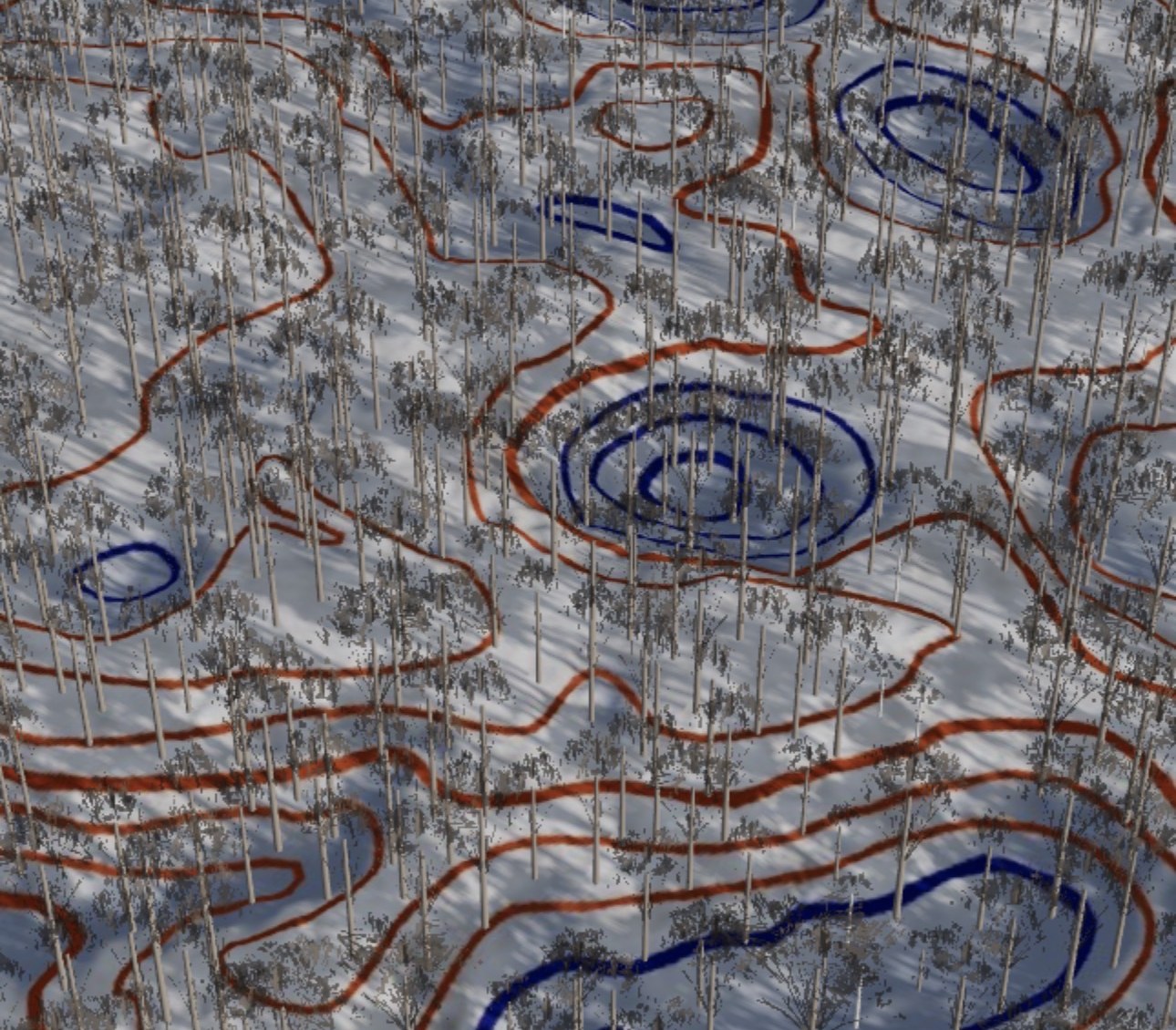
Every piece of land holds answers, if you know what to ask. Here's what one 33-acre property in Mulmur told us.
Was this forest once a farm?
Yes. Old plough furrows still show in the ground beneath the trees.
Where does the rain go?
Into seven catchments and one creek, with eight closed hollows holding the rest.
Where would I build?
Five spots pass the first screen. One is already half open.
What's your question?
What you get
One measured model of your land, delivered the way you need it.
3D explorer
A link that opens on any phone. Fly in, stand anywhere at eye height, switch seasons, and see exactly where you are on the map.
The map
Drawn by hand, checked on the ground, and linked to the 3D, so every view knows where it stands. Framed or as a file.
Measured sheets
Topography and earthworks, drainage, slopes and setbacks, building sites, forest inventory and old features hidden in the ground. As PDFs, plus CAD and GIS files. See a sample set.
More ways to use it
Area tool
Draw any area on your land and get its maps and measured sheets for just that piece, on the spot.
Campsite previews
Show guests every campsite in 3D before they book: the view, the slope, the walk to the water.
For your mapping system
A 3D view of a special place that plugs straight into the ArcGIS maps conservation authorities, counties and towns already use.
Land report card
For rural listings of 10 acres or more: forest, slopes, water and building areas, screened at a glance for buyers.
Who it's for
Cottage and land owners
See your place whole, and keep it on the wall.
Rural real estate
Let buyers walk the acreage, see the building sites and know how much of the land is usable, before the first showing.
Golf courses
A 3D tour for members and marketing, plus measured areas, a tree inventory and maintenance maps for the superintendent.
Parks, camps and trails
Show visitors their campsite, trail or shoreline before they book, and give staff an accurate base map.
Builders and planners
Fast first answers: where to build, how much earth moves, where water goes and what's off-limits.
Adventurers
A map made for your trip, and a hand planning it.
Ways to work together
Property showcase
The 3D explorer in every season, your property line, the map and a one-page summary of the land.
Ask for a quoteFull land atlas
Everything in the showcase, plus the measured sheets: topography, drainage, constraints, building sites and forest inventory.
Ask for a quoteGolf course
Your course in 3D, a measured inventory of every surface and tree, and a maintenance map. Ask about a yearly care plan.
Ask for a quoteYour map
A cottage, property, trail or adventure map in the look you want, framed if you like.
Ask for a quoteEvery place is different, so every quote is too. Tell me about yours.
Duntroon Highlands
Golf, Nordic skiing, ski orienteering and trails on one escarpment property, all mapped by me. See what I did there.
How it works
- 1We meetOver coffee, on a call, or best of all, out on the land.
- 2You tell me about the placeWhat you need. How you feel about it. The parts that are special to you.
- 3I get to know itI walk it, explore it and find the things even you might not know are there.
- 4You get your mapIn the look you want, the size you want, framed if you like.
Got a place that means something to you? Let's talk about it.
Get in touch